世界遺産一覧

世界遺産一覧

日本

大韓民国

北朝鮮(朝鮮民主主義人民共和国)

中国(中華人民共和国)


アフガニスタン Afghanistan


アルジェリア Algeria

アルバニア Albania
パレスチナ自治政府

Angola

Argentina

Armenia

Australia

Austria

Azerbaijan

Bahrain

Bangladesh

Barbados

Belarus

Belgium

Belize

Benin

Bolivia (Plurinational State of)

Bosnia and Herzegovina

Botswana

Brazil

Bulgaria

Burkina Faso

Cabo Verde

Cambodia

Cameroon

Canada

Central African Republic

Chad

Chile

China

Colombia

Congo

Costa Rica

Côte d’Ivoire

Croatia

Cuba

Czechia

Democratic People’s Republic of Korea

Democratic Republic of the Congo

Denmark

Dominica

Dominican Republic

Ecuador

Egypt

El Salvador

Eritrea

Estonia

Ethiopia

Fiji

Finland

France

Gambia

Georgia

Germany

Ghana

Greece

Guatemala

Guinea

Guinea-Bissau

Haiti

Holy See

Honduras

Iceland

India

Indonesia

Iran (Islamic Republic of)

Iraq

Ireland

Israel

Italy

Jamaica

Japan

Jerusalem (Site proposed by Jordan

Jordan

Kazakhstan

Kenya

Kiribati

Kyrgyzstan

Lao People’s Democratic Republic

Latvia

Lebanon

Lesotho

Libya

Lithuania

Luxembourg

Madagascar

Malawi

Malaysia

Mali

Malta

Marshall Islands

Mauritania

Mauritius

Mexico

Micronesia (Federated States of)

Mongolia

Montenegro

Morocco

Mozambique

Myanmar

Namibia

Nepal

Netherlands (Kingdom of the)

New Zealand

Nicaragua

Niger

Nigeria

North Macedonia

Norway

Oman

Pakistan

Palau

Panama

Papua New Guinea

Paraguay

Peru

Philippines

Poland

Portugal

Qatar

Republic of Korea

Republic of Moldova

Romania

Russian Federation

Rwanda

Saint Kitts and Nevis

Saint Lucia

San Marino

Saudi Arabia

Senegal

Serbia

Seychelles

Sierra Leone

Singapore

Slovakia

Slovenia

Solomon Islands

South Africa

Spain

Sri Lanka

State of Palestine

Sudan

Suriname

Sweden

Switzerland

Syrian Arab Republic

Tajikistan

Thailand

Togo

Tunisia

Türkiye

Turkmenistan

Uganda

Ukraine

United Arab Emirates

United Kingdom of Great Britain and Northern Ireland


United Republic of Tanzania


United States of America

Uruguay

Uzbekistan


Vanuatu

Venezuela (Bolivarian Republic of)

Viet Nam

Yemen


Zambia

Zimbabwe

日本の世界遺産一覧

日本の世界遺産一覧

No. 資産名 所在地 記載年 区分
1 法隆寺地域の仏教建造物 奈良県 1993 文化
2 姫路城 兵庫県 1993 文化
3 屋久島 鹿児島県 1993 自然
4 白神山地 青森県・秋田県 1993 自然
5 古都京都の文化財(京都市、宇治市、大津市) 京都府・滋賀県 1994 文化
6 白川郷・五箇山の合掌造り集落 岐阜県・富山県 1995 文化
7 原爆ドーム 広島県 1996 文化
8 厳島神社 広島県 1996 文化
9 古都奈良の文化財 奈良県 1998 文化
10 日光の社寺 栃木県 2000 文化
11 琉球王国のグスク及び関連遺産群 沖縄県 2000 文化
12 紀伊山地の霊場と参詣道 三重県・奈良県・和歌山県 2004 文化
13 知床 北海道 2005 自然
14 石見銀山遺跡とその文化的景観 島根県 2007 文化
15 小笠原諸島 東京都 2011 自然
16 平泉‐仏国土(浄土)を表す建築・庭園及び考古学的遺跡群‐ 岩手県 2011 文化
17 富士山‐信仰の対象と芸術の源泉‐ 山梨県・静岡県 2013 文化
18 富岡製糸場と絹産業遺産群 群馬県 2014 文化
19 明治日本の産業革命遺産 製鉄・製鋼、造船、石炭産業 2015 文化
福岡県・佐賀県・長崎県・熊本県・鹿児島県・山口県・岩手県・静岡県
20 ル・コルビュジエの建築作品‐近代建築運動への顕著な貢献‐ 東京都
※フランス・ドイツ・スイス・ベルギー・アルゼンチン・インド
2016 文化
21 「神宿る島」宗像・沖ノ島と関連遺産群 福岡県 2017 文化
22 長崎と天草地方の潜伏キリシタン関連遺産 長崎県・熊本県 2018 文化
23 百舌鳥・古市古墳群‐古代日本の墳墓群‐ 大阪府 2019 文化
24 奄美大島、徳之島、沖縄島北部及び西表島 鹿児島県・沖縄県 2021 自然
25 北海道・北東北の縄文遺跡群 北海道・青森県・岩手県・秋田県 2021 文化
26 佐渡島の金山 新潟県 2024 文化

出典:

法隆寺地域の仏教建造物

法隆寺地域の仏教建造物 登 録 年 1993年<作業中

2008年12月8日 撮影者:宇吹暁
horyuuji01CIMG9596
 日本最初の世界文化遺産 法隆寺 平山郁夫書
 夢殿
horyuuji02CIMG9596
 世界遺産法隆寺ー1400年の歴史遺産を未来へー(法隆寺 2022/06/15 公開) – クラウドファンディング READYFOR


参考

 遺産名 所在地  登録基準 資 料 No.
法隆寺地域の仏教建造物 奈良県 C(I)(ii)(iv)(vi)、 660
姫路城 兵庫県 C(I)(iv) 661
屋久島 鹿児島県 N(ii)(iii)  662
白神山地 青森県・ 秋田県 N(ii)  663
  1996年
広島平和記念碑(原爆ドーム) 広島県 C(vi)、 775
厳島神社 広島県 C(I)(ii)(iv)(vi) 776

国立西洋美術館本館(2016年世界遺産記載)

国立西洋美術館本館 2016(平成28)年世界遺産記載<作業中

7か国(日本、フランス、アルゼンチン、ベルギー、ドイツ、インド、スイス)にまたがる「ル・コルビュジエの建築作品-近代建築運動への顕著な貢献-」の構成資産の一つ。出典:我が国の世界遺産一覧表記載物件|外務省 (mofa.go.jp)

幟:台東区・国立西洋美術館世界遺産登録上野地区推進委員会
CIMG00011s
CIMG00021s
CIMG00961
CIMG01031
CIMG01041s
 以上の撮影日:2009年3月17日、宇吹暁撮影
IMG_20220612_120954797s
世界遺産一覧表記載認定書(複製) 2022年6月12日M撮影

座喜味城跡(ざきみ)

座喜味城跡2006年9月13日調査

世界遺産エンブレム(紋章)
Ryukyu_Zakimi01
Ryukyu_Zakimi02
Ryukyu_Zakimi03
Ryukyu_Zakimi04
Ryukyu_Zakimi08
Ryukyu_Zakimi09
Ryukyu_Zakimi10
Ryukyu_Zakimi11
Ryukyu_Zakimi12
Ryukyu_Zakimi13
Ryukyu_Zakimi14
Ryukyu_Zakimi15
Ryukyu_Zakimi16
Ryukyu_Zakimi17
Ryukyu_Zakimi18
Ryukyu_Zakimi19
Ryukyu_Zakimi20
  読谷村立歴史民俗資料館<1975年(昭和50年)開館>
 Ryukyu_Zakimi05s
Ryukyu_Zakimi07
 追記
世界遺産座喜味城跡ユンタンザミュージアム 公式サイト | 沖縄県 読谷村 博物館 (yuntanza-museum.jp)
  2018年6月23日、(旧)歴史民俗資料館・美術館を統合、リニューアルオープン


書誌:琉球王国のグスクおよび関連遺産群

書誌:琉球王国のグスクおよび関連遺産群

発行年月日 書名 編著者 発行所 備考
19750701 今帰仁村史  編纂委員会 今帰仁村役場 760頁
19930105 尚家継承・琉球王朝文化遺産
19930331 なきじん研究3 今帰仁の歴史 今帰仁村歴史文化センター
19950331 なきじん研究5 今帰仁の歴史と文化(展示案内) 今帰仁村歴史文化センター
19970325 グスク城が劇場になった 座喜味城跡活用実践集 読谷村教育委員会
20000915 沖縄の幽霊 福地曠昭 那覇出版社
20001215 世界遺産・グスク紀行--古琉球の光と影 岡田輝雄(文)・国吉和夫(写真) 琉球新報社
20010208 世界遺産 琉球王国のグスク及び関連遺産群 「琉球王国のグスク及び関連遺産群」世界遺産登録記念事業実行委員会 沖縄県教育庁文化課
20020511 首里城ハンドブック 首里城研究グループ 首里城公園友の会
20030325 首里城の復元 首里城公園友の会編 海洋博覧会記念公園管理財団
20030325 グスク城が劇場になった 座喜味城跡活用実践集 Vol.2 読谷村教育委員会
2005 今帰仁城跡 今帰仁村文化財ガイドブックVol.1 今帰仁村教育委員会 今帰仁村役場
20050330 読谷村文化財めぐり 読谷村教育委員会
20050330 新版・沖縄の博物館ガイド 沖縄県博物館協会編 編集工房東洋企画
200503 玉陵 世界遺産・重要文化財・国指定史跡 那覇市教育委員会文化課 那覇市教育委員会
20050604 読谷山花織展 開館30周年記念特別企画展 読谷村立歴史民俗資料館 読谷村教育委員会
20051008 考古・民俗にみる形・彫・色 開館30周年記念特別企画展 読谷村立歴史民俗資料館 読谷村教育委員会
沖縄の世界遺産 平井順光作品集<絵はがき> 平井写真事務所

沖縄世界遺産調査 2006年9月12日~14日

沖縄世界遺産調査 2006年9月12日~14日[敬称略]

日時 事項 備考
12日
07:30 A・B、広島駅集合。Cは徳山から乗車。~14日。新幹線自由席<往復4095円>、レンタカー<1日5000円×3日間=15000円>、ガソリン代<6096円>、航空運賃・ホテル代<46600円>。計7万1791円。
07:59 広島発-新幹線自由席-09:03博多着。福岡空港10:35−那覇12:10(ANA483)。ニッポンレンタカー那覇空港前レンタカー配車。
13: 那覇空港前レンタカー-国道332-国道331-国道329-県道82-那覇IC-沖縄自動車道-許田IC-国道58-国道449-国道505-今帰仁城跡。
Ryukyu060912_01
Ryukyu060912_02
Ryukyu060912_03
15:30 今帰仁城跡。観覧料400円。今帰仁村歴史文化センター。仲宗根より丁寧な解説。書籍4冊を購入。6000円。~17:00。
18:00 道の駅許田。ソフトクリーム。
19:10 座喜味城跡。真っ暗で参観困難。
20:30 東京第一ホテル(ホテルグランメール)沖縄県沖縄市字与儀1205-2:(098)931-1500泊。
21:30 D(女学院大学卒業生、紅型工房で修行中)より電話。30分ほど話す。
13日
08:20 座喜味城跡。読谷村立歴史民俗資料館。村立美術館。入館料200円。書籍購入。3400円。~09:50。
11:00 勝連城跡。
11:30 海の駅あやはし館。
Ryukyu060913_01
Ryukyu060913_02
13:10 中城城跡。観覧料300円。忠魂碑。
14:30 斎場御嶽。
16:10 園比屋武御嶽石門。
16:15 首里城跡:公園観覧料800円。ミュージアムショップ「球陽」で書籍2冊購入。1900円。
17:15 玉陵。観覧料200円。
20 沖縄レインボーホテル(沖縄県那覇市松尾1丁目19番地17、TEL (098)866-5401)泊。国際通りで土産物の購入。
14日
07:30 ホテルフロントで本などの宅急便(スーパーペリカン便)手続き。着払いしかしないとのこと。15日午前中届く。2510円。
09:00 識名園。観覧料300円。
10:30 沖縄戦跡国定公園広場。沖縄県平和祈念資料館。観覧料300円。
14:50 那覇空港前レンタカー返車。ガソリン代:カードでの支払い。16:20那覇空港(ANA490)−17:55福岡-博多18:35-19:55広島。


入手した文献一覧

発行年月日 書名 編著者 発行所
19750701 今帰仁村史 今帰仁村役場
19930105 尚家継承・琉球王朝文化遺産
19930331 なきじん研究3 今帰仁の歴史 今帰仁村歴史文化センター
19950331 なきじん研究5 今帰仁の歴史と文化(展示案内) 今帰仁村歴史文化センター
19970325 グスク城が劇場になった 座喜味城跡活用実践集 読谷村教育委員会
20000915 沖縄の幽霊 福地曠昭 那覇出版社
20001215 世界遺産・グスク紀行--古琉球の光と影 岡田輝雄(文)・国吉和夫(写真) 琉球新報社
20010208 世界遺産 琉球王国のグスク及び関連遺産群 「琉球王国のグスク及び関連遺産群」世界遺産登録記念事業実行委員会 沖縄県教育庁文化課
20020511 首里城ハンドブック 首里城研究グループ 首里城公園友の会
20030325 首里城の復元 首里城公園友の会編 海洋博覧会記念公園管理財団
20030325 グスク城が劇場になった 座喜味城跡活用実践集 Vol.2 読谷村教育委員会
20040331 読谷村の戦跡めぐり 読谷村史編集室 読谷村役場
200403 戦時記録(上・下巻) 読谷村史第5巻資料編4 読谷村史編集室 読谷村役場
2005 今帰仁城跡 今帰仁村文化財ガイドブックVol.1 今帰仁村教育委員会 今帰仁村役場
20050330 読谷村文化財めぐり 読谷村教育委員会
20050330 新版・沖縄の博物館ガイド 沖縄県博物館協会編 編集工房東洋企画
200503 玉陵 世界遺産・重要文化財・国指定史跡 那覇市教育委員会文化課 那覇市教育委員会
20050604 読谷山花織展 開館30周年記念特別企画展 読谷村立歴史民俗資料館 読谷村教育委員会
20051008 考古・民俗にみる形・彫・色 開館30周年記念特別企画展 読谷村立歴史民俗資料館 読谷村教育委員会
沖縄の世界遺産 平井順光作品集<絵はがき> 平井写真事務所

琉球王国のグスクおよび関連遺産群

琉球王国のグスクおよび関連遺産群

参参考サイト
https://whc.unesco.org/en/list/972/
https://bunka.nii.ac.jp/special_content/hlink9

記載物件名
琉球王国のグスク及び関連遺産群
構成資産
今帰仁城跡、座喜味城跡、勝連城跡、中城城跡、首里城跡、園比屋武御嶽石門、玉陵、識名園、斎場御嶽
所在地(市町村)
沖縄県国頭郡今帰仁村、中頭郡読谷村・北中城村・中城村、うるま市、那覇市、南城市

首里城跡 那覇市 (しゅりじょうあと)Shurijo Castle
玉陵 (タマウドゥン)Tamaudun
園比屋武御嶽石門 (そのひゃんうたきいしもん)
Sonohyan-utaki
識名園 (しきなえん)Shikina-En
斎場御獄 島尻郡 知念村 (セーファウタキ)Sefa-utaki
中城城跡 中頭郡 中城村・北中城村 (なかぐすく)Nakagusuku Castle
勝連城跡 中頭郡 勝連町 (かつれん)Katsuren Castle
座喜味城跡 中頭郡 読谷村 (ざきみ)Zakimi Castle
今帰仁城跡 国頭郡 今帰仁村 (なきじんじょう)Nakijin Castle

暫定記載年
平成4年(1992年)
推薦年月
平成11年(1999年)6月
記載年月
平成12年(2000年)12月
評価基準
(ⅱ)(ⅲ)(ⅵ)
都道府県所管課
沖縄県教育庁文化財課
自治体等HP
https://www.pref.okinawa.jp/site/kodomo/land/bunka/sekaiisan/index.html(沖縄県HP)
ユネスコ資産ページ
https://whc.unesco.org/en/list/972
写真提供
沖縄県教育庁
関連資料
参考資料(位置図)
世界遺産一覧表記載推薦書
顕著な普遍的価値(OUV)の言明


詳細解説

琉球列島は日本列島南端に位置します。14世紀中頃には三王国が分立していましたが、15世紀前半にこれらを統一して琉球王国が成立しました。中国・朝鮮・日本・東南アジア諸国との広域の交易を経済的な基盤とし、当時の日本の文化とは異なった国際色豊かな独特の文化が形成されました。その特色を如実に反映している文化遺産が城(グスク)です。
今帰仁城・座喜味城・勝連城・中城城は、いずれも三国鼎立期から琉球王国成立期にかけて築かれた城であり、首里城は琉球王がその居所と統治機関を設置するために築いたものです。これらの城壁は、主として珊瑚石灰岩により造営されており、曲面を多用した琉球独自の特色を備えています。さらに、王室関係の遺跡として円覚寺跡、玉陵、識名園(別邸)が残り、王国文化をうかがうことができます。

Struve Geodetic Arc–map

Struve Geodetic Arc – map of inscribed property作業中

Struve Geodetic Arc – UNESCO World Heritage Centre
 (Belarus, Estonia, Finland, Latvia, Lithuania, Norway, Republic of Moldova, Russian Federation, Sweden, Ukraine)
キャプチャ1 キャプチャ2  


Norway,

Sweden,

Finland, 

Russian Federation,

Estonia,

 Latvia, 

Lithuania, 

Belarus,

Ukraine

Republic of Moldova,

over


Struve Geodetic Arc

Struve Geodetic Arc – UNESCO World Heritage Centre

Struve Geodetic Ar<作業中

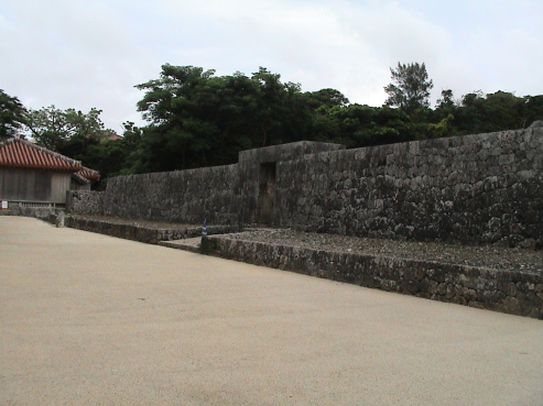
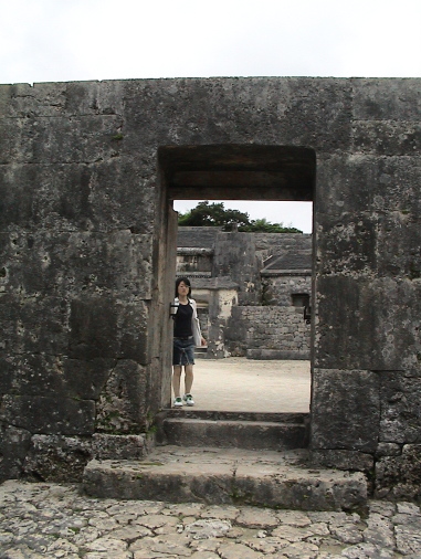
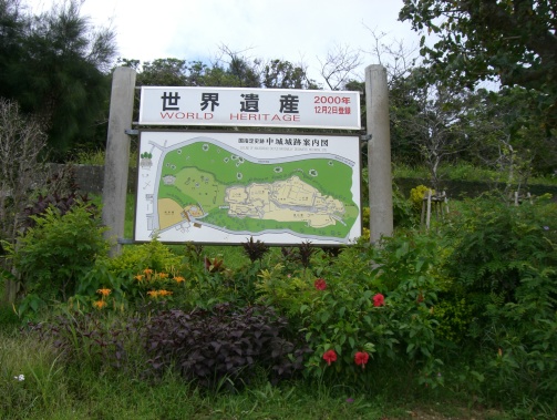
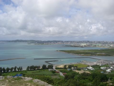
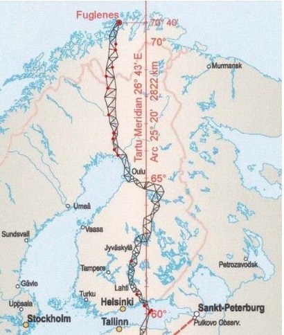
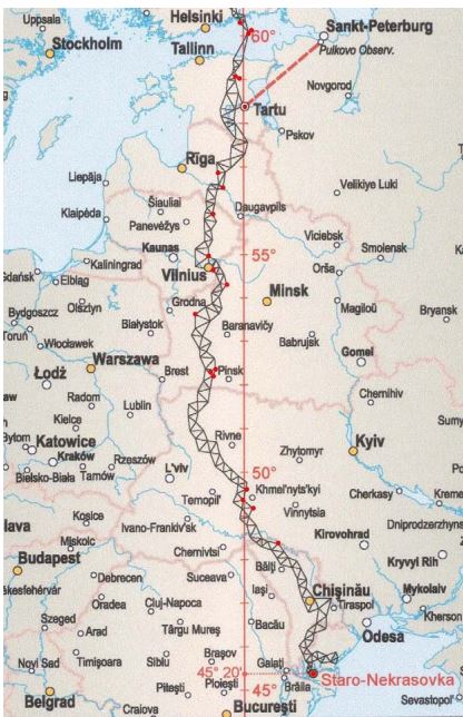
he Struve Arc is a chain of survey triangulations stretching from Hammerfest in Norway to the Black Sea, through 10 countries and over 2,820 km. These are points of a survey, carried out between 1816 and 1855 by the astronomer Friedrich Georg Wilhelm Struve, which represented the first accurate measuring of a long segment of a meridian. This helped to establish the exact size and shape of the planet and marked an important step in the development of earth sciences and topographic mapping. It is an extraordinary example of scientific collaboration among scientists from different countries, and of collaboration between monarchs for a scientific cause. The original arc consisted of 258 main triangles with 265 main station points. The listed site includes 34 of the original station points, with different markings, i.e. a drilled hole in rock, iron cross, cairns, or built obelisks.

Outstanding Universal Value

Brief synthesis

The determination of the size and shape of the world was one of the most important problems of natural philosophy since at least the 4th century B.C. The development, in the 16th century, of a measurement system called “triangulation” improved the ability to determine the size and shape of the world. In this system, long chains of triangles were measured, creating arcs that stretched along hundreds and thousands of kilometres.

The Struve Geodetic Arc is a chain of survey triangulations stretching from Hammerfest in Norway to the Black Sea, through ten countries and over 2,820 km. These are points of a survey, carried out between 1816 and 1855 by several scientists (surveyors) under leadership of the astronomer Friedrich Georg Wilhelm Struve, which represented the first accurate measuring of a long segment of a meridian. This helped to establish the exact size and shape of our planet and marked an important step in the development of earth sciences and topographic mapping. It is an extraordinary example of the development of sciences and of collaboration among scientists from different countries, as well as monarchs, for a common scientific cause.

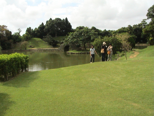
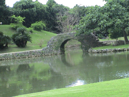
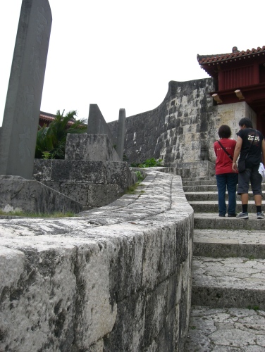
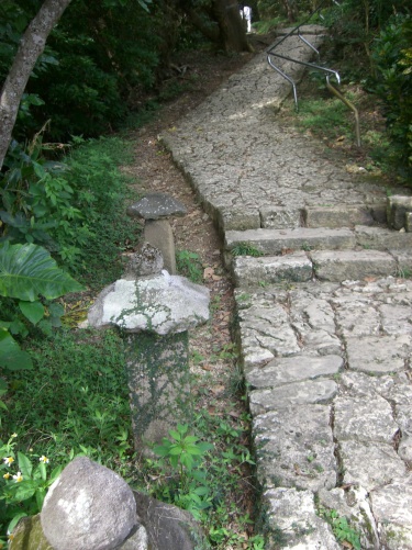
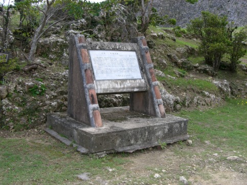
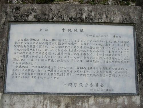
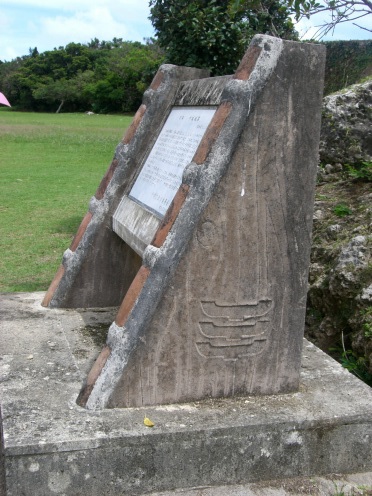
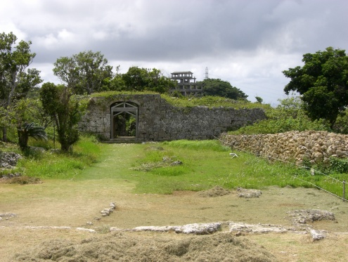
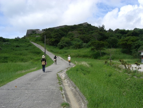
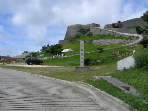
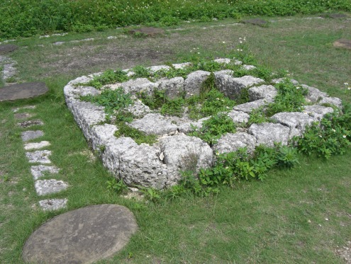
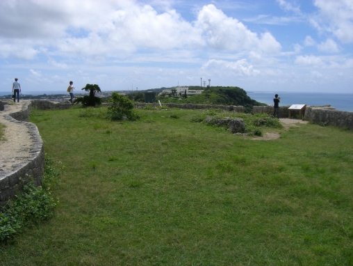
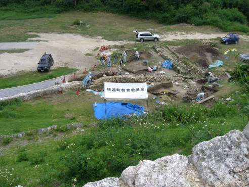
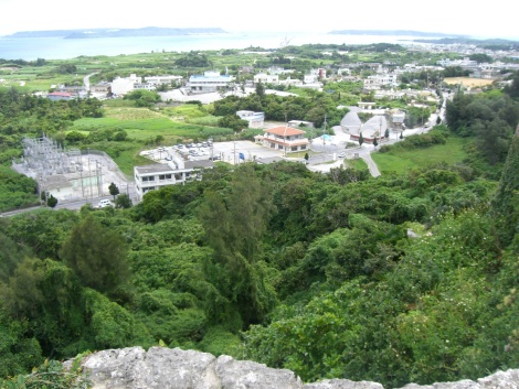
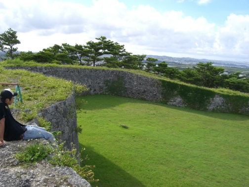
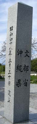
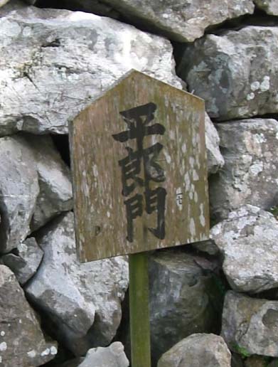
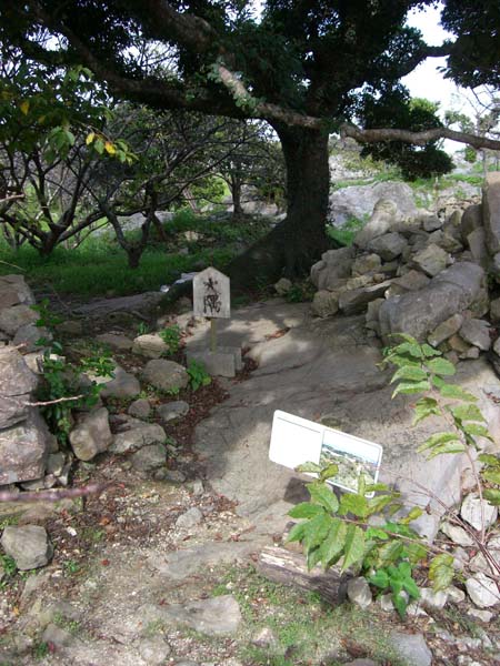
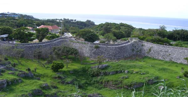
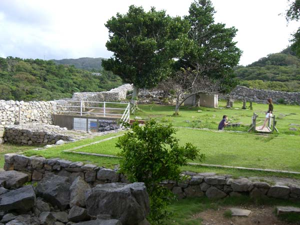
Prior to the Struve Geodetic Arc, an arc of about 2,400 km had been measured in India by Lambton and Everest (completed in 1845), and a shorter arc in Lithuania by Carl Tenner. Struve, who was working at the Dorpat University (currently University of Tartu in Estonia), decided that he would establish an arc following a line of longitude (meridian) passing through the observatory of the university. The new long arc, later to be known as the Struve Geodetic Arc, was eventually created by connecting earlier, shorter arcs to the southern one measured by Tenner, and their extension to the north and south. The arc thus covered a line connecting Fuglenæs, near Hammerfest at the Arctic Ocean, with Staro-Nekrassowka, near Ismail, on the Black Sea shores, along more than 2,800 km. The original arc consisted of 258 main triangles with 265 main station points. The inscribed property includes 34 of the original station points established by Struve and his colleagues between 1816 and 1851 – four points in Norway, four in Sweden, six in Finland, two in Russia, three in Estonia, two in Latvia, three in Lithuania, five in Belarus, one in Moldova and four in Ukraine. Other preserved sites of the Arc are protected nationally.

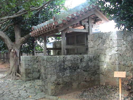
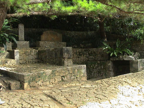
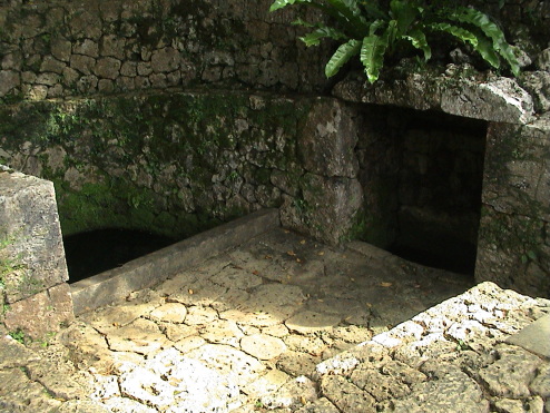
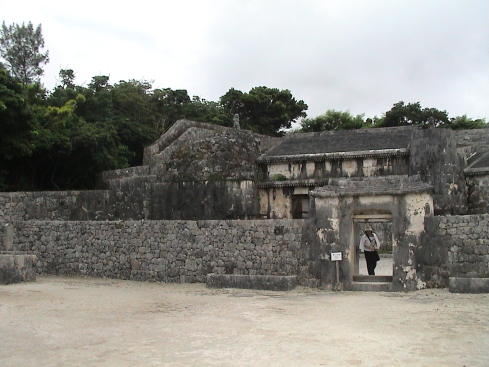
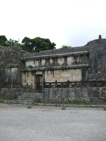
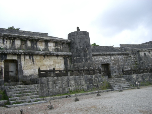
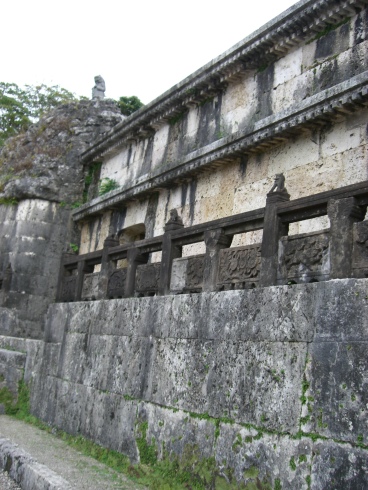
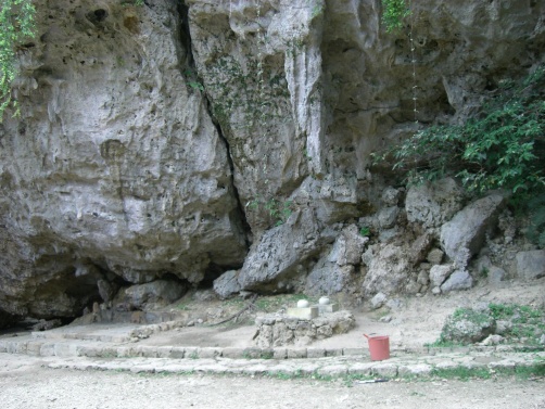
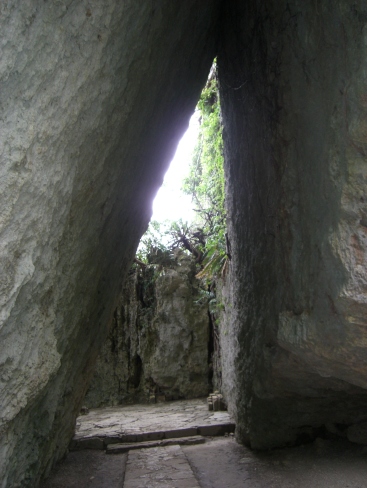
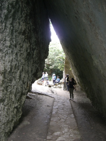
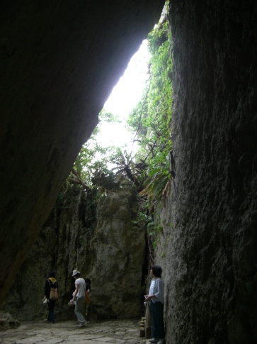
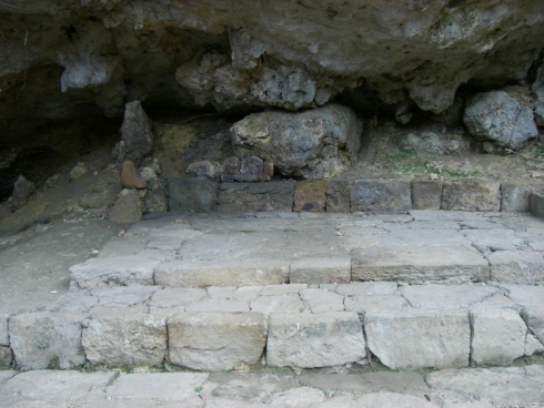
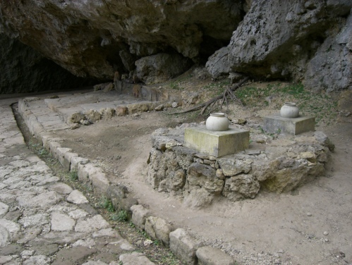
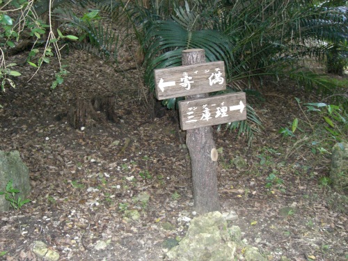
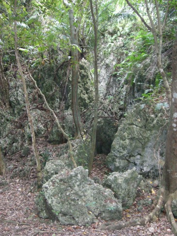
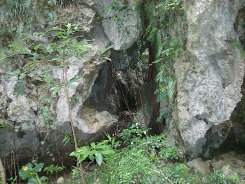
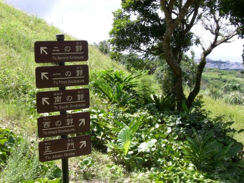
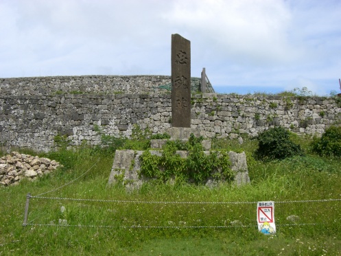
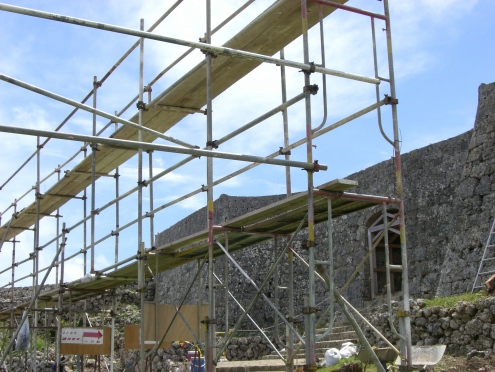
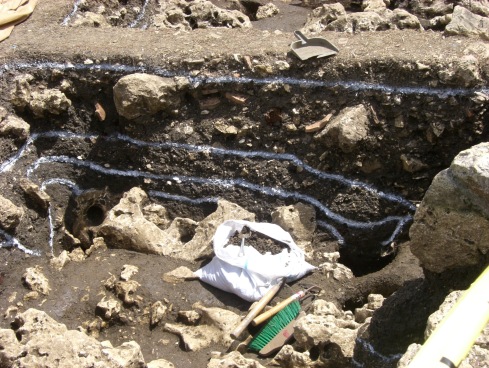
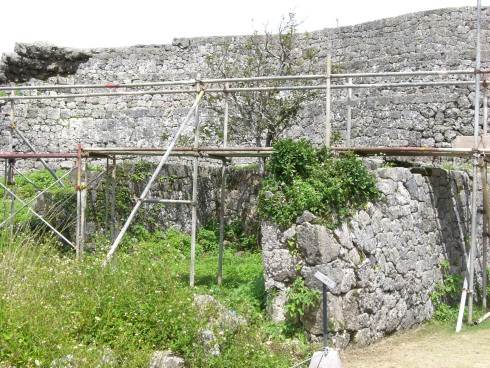
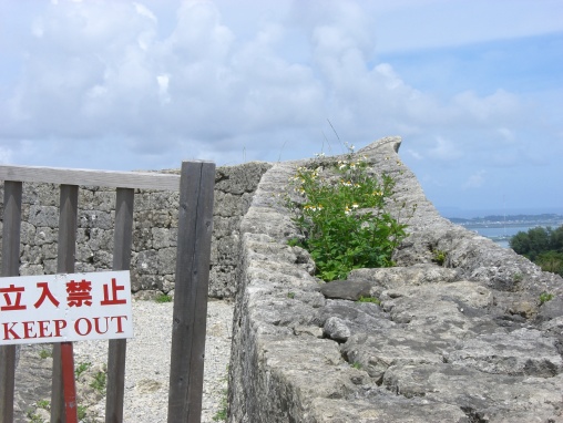
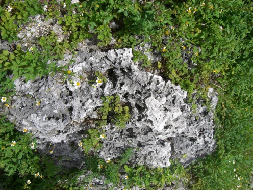
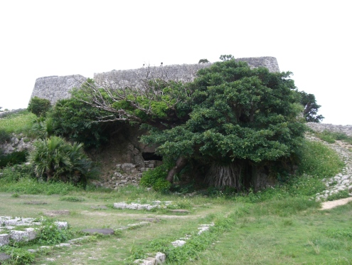
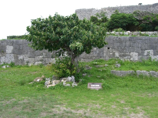
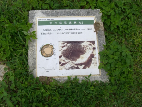
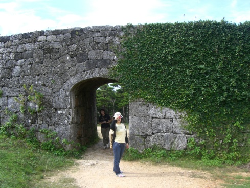
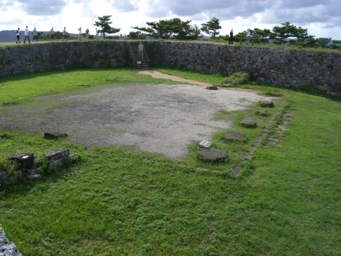
These marks take different forms: small holes drilled in rock surfaces, and sometimes filled with lead; cross-shaped engraved marks on rock surfaces; solid stone or brick with a marker inset; rock structures (cairns) with a central stone or brick marked by a drilled hole; individual bricks; as well as especially constructed ‘monuments’ to commemorate the point and the arc.

The Struve Geodetic Arc is an extraordinary example of the interchange of human values in the form of international scientific collaboration, as well as an outstanding example of a technological ensemble.

Criterion (ii): The first accurate measuring of a long segment of a meridian, helping in the establishment of the exact size and shape of the world exhibits an important step in the development of earth sciences. It is also an extraordinary example for interchange of human values in the form of scientific collaboration among scientists from different countries. It is at the same time an example for collaboration between monarchs of different powers, for a scientific cause.

Criterion (iv): The Struve Geodetic Arc is undoubtedly an outstanding example of a technological ensemble – presenting the triangulation points of the measuring of the meridian, being the non-movable and non-tangible part of the measuring technology.

Criterion (vi): The measuring of the arc and its results are directly associated with humans wondering about their world, its shape and size. It is linked with Sir Isaac Newton’s theory that the world is not an exact sphere.

Integrity

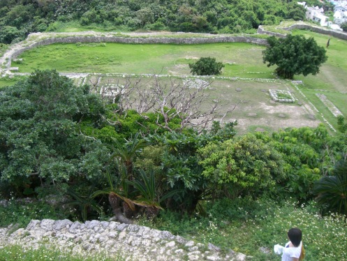
The inscribed property consists of 34 components, which in total comprise an area of 0.6 ha, with buffer zones amounting to a total of 11 ha. All components of the Struve Geodetic Arc are linked to one chain and a number of the Arc sites belong to national state geodetic reference networks that confer integrity even with the geodetic measurements processed today.

Authenticity

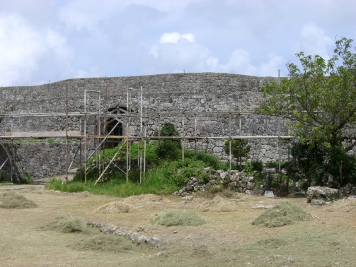
The inscribed components of the property have special characteristics and significance on a technological and scientific level. All points are maintained in their original location and changes are limited to some later constructions marking the locations.

Protection and management requirements

For the inscription of the Struve Geodetic Arc, the ten countries involved collaborated in locating and investigating the sites of historical measurements by using available geodetic observation data and by means of the recent measurement methods as well as satellite geodesy. Upon identification of the component parts, each State Party provided legal protection in accordance with its national frameworks, which in practice entails that some points are covered by laws protecting geodetic points and also by laws for the protection of cultural heritage.

At the national level, each State authority, usually the national mapping authority with the involvement of local administrative authorities, is responsible for the conservation and management of the Struve Geodetic Arc. At the international level, management is the responsibility of the Coordinating Committee, which meets every other year and is run according to management mechanisms agreed upon by all ten countries.

Based on the resolutions of the Coordinating Committee, national representative organizations actively promote the Struve Geodetic Arc via different tasks, such as the producing post stamps and envelopes (completed by Belarus, Estonia, Finland, Latvia, Lithuania, Moldova, Sweden, Ukraine); making promotional movies and educational leaflets, books and articles; preparing exhibitions; translating documentation; restoring geodetic instruments and other materials, and even minting commemorative coins for the Struve Geodetic Arc (Belarus, Moldova).

Ukraine: UNESCO statement 20220224

Ukraine: UNESCO statement 20220224<作成中

Ukraine: UNESCO statement following the adoption of the UN General Assembly resolution – UNESCO World Heritage Centre

UNPress release

ESCO’s statement on the recent developments in Ukraine

UNESCO

UNESCO is deeply concerned about the ongoing military operations and the escalation of violence in Ukraine. As stated by the UN Secretary-General, such operations are violations of the territorial integrity and sovereignty of Ukraine and are inconsistent with the Charter of the United Nations.

UNESCO calls for respect for international humanitarian law, notably the 1954 Hague Convention for the Protection of Cultural Property in the Event of Armed Conflict and its two (1954 and 1999) Protocols, to ensure the prevention of damage to cultural heritage in all its forms.

This also includes the obligations under the United Nations Security Council Resolution 2222 (2015) on the protection of journalists, media professionals and associated personnel in situations of conflict, to promote free, independent and impartial media as one of the essential foundations of a democratic society, and which can contribute to the protection of civilians.

UNESCO also calls for restraint from attacks on, or harm to, children, teachers, education personnel or schools, and for the right to education to be upheld.

over